Tour description
Which traces are we following on this route?
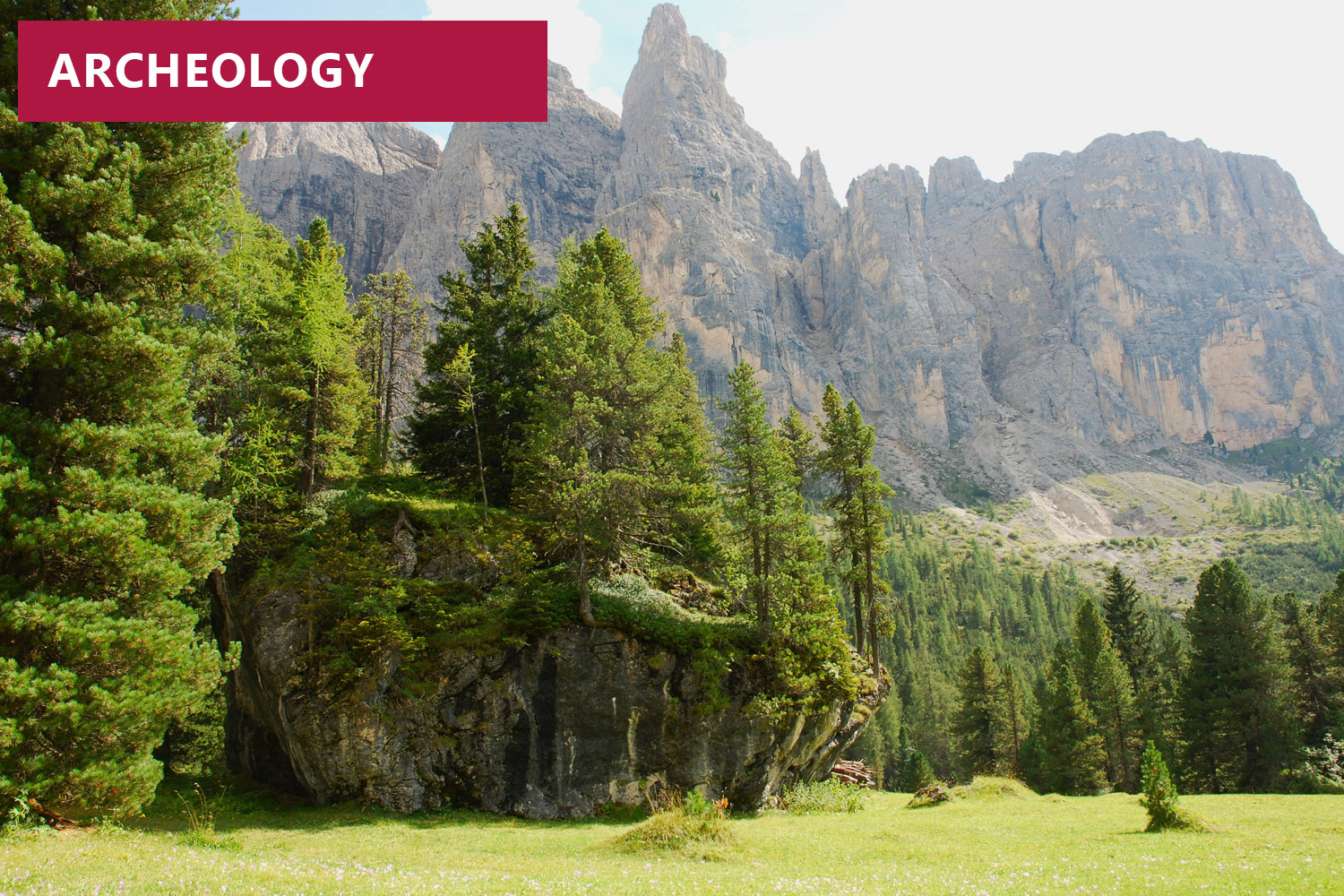
Mountains do not only cause separation, but their passes have also been bringing people and places together for thousands of years. We can still find traces of this in the impressive landscape of the Dolomites. Major traffic routes such as prehistoric Troi Paian used to pass through this area, and hunters have been hunting wild animals in the mountains here since the retreat of the glaciers around 12,000 to 10,000 years ago after the last Ice Age. The lush meadows at Plan de Frea where hunters and shepherds set up camp at the enormous rock beneath Murfrëit rock faces during the Stone and Bronze Ages are proof of this fact. Today, Plan de Frea is one of the most important Stone Age excavation sites on the southern side of the Alps.
What awaits us?
This walk of easy to medium difficulty is suitable for those used to walking, including families with children aged 10 years upwards. Good walking boots and hiking gear are required. Walking time is around 2½ hours with a difference in altitude of 170 metres up and 400 metres down, and a distance of around 6 km is covered.
Where does the tour go?
We get up to the foot of the Cir mountain peaks with the Dantercëpies cable car. From the the upper terminal, we briefly follow walking path no. 12A, then turn off right and go down to the access road to the Grödner Joch pass, which leads over the prehistoric path, Troi Paian. We get to Plan de Frea meadows via path no. 654 and reach a large block of Dolomite rock that prehistoric hunters and gatherers used to rest beneath.
From here, we then go back to path no. 654 to the junction and turn off right onto path no. 653 until we reach Chalet Gerard bus stop on the road to the Grödner Joch pass. We take the bus back to Wolkenstein, get off at La Bula bus stop and go back to the lower terminal of Dantercëpies cable car station.